
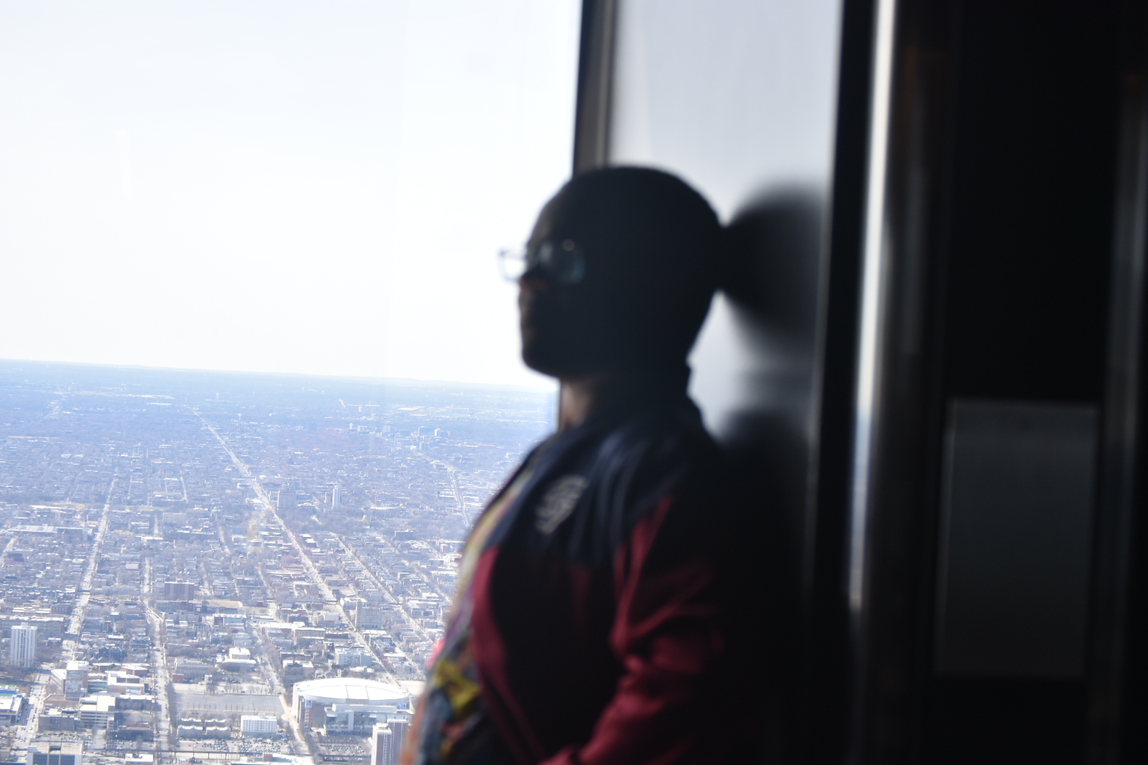
Process/Artifact: This StoryMap was created to represent a sort of journey through some places my senior high class went in Chicago. At first the style was similar to my previous StoryMap where you would have picture marked at a certain location on a map and the map would move based on where the picture was. However, not only did I want to distinguish this Map from the previous I also wanted it to function somewhat like a brochure. Thus, now you have a set of images above a map with a paragraph next to it that gives a brief description of the location, what you can do there, etc.
Reflection/Ethical Concerns : ArcGIS Storymaps is pretty intuitive platform. There is definitely a slight learning curve and I’m certain improvements could be made to my artifact. However, it’s pretty hard to make a really bad storymap, the tools at your disposal do a good chunk of the work for you, now when doing something that may include data and infographics and such that may add a new level of complexity. In terms of Ethical concerns while all the photos are credited, and most of these photos have been on the internet for almost two years, and the school allowed for these to be used publicly and with social media there is an expectation they will, there is still the idea of whether or not these people would have approved of these photos being used this way, now luckily none of these photos were taken without them knowing, clearly, and they’re most made up of my friends, but that question photos that are for public use and permission does still linger around an artifact like this.
AI use: No AI was used in the creation of the Artifact or Module Report.
I like how you did individual maps so you can focus on each place. Sometimes with the scroll ones they move to fast where you cant get all the information. It does read like a pamphet so I think the design worked how you planned it to.