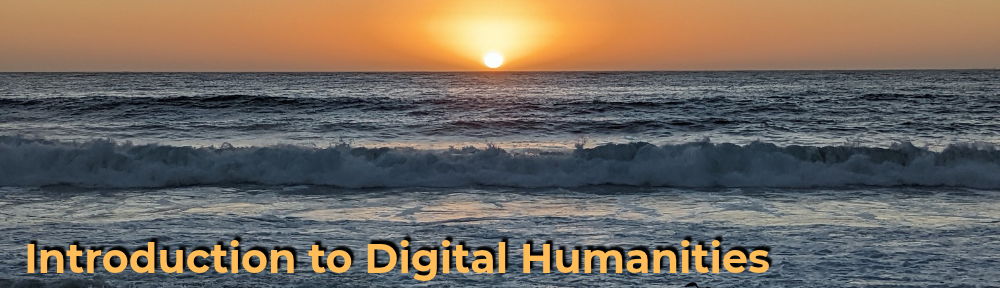
My StoryMaps project documents some of the extremely okay pictures I’ve taken this year of clouds and skyline across the world (Japan and the United States). The main focus is, of course, on the skylines themselves, but feel like it wasn’t the focus of images when I actually took them, would it make more sense to change my topic or is the inclusion of the current amount of skyline enough to bind it all together? How is the map zoom level? How much context should be included in the alt text? I tried to keep it brief but definitely could’ve added more than just rough dates and why I was in the area. Similarly, the rest of the StoryMaps paragraph is on the smaller side, not sure how much writing should be done before the visual aspect of a primarily map and image-based project, or even how much is needed in general. Also not sure which map type looks the best, I ended up with satellite view but think the sleeker, “environment-less” may have looked a bit better. If I’m able to, I might end up using a StoryMap in my final project, but only if it would make sense to incorporate so I’m not entirely sure yet. A smaller question is also on the image header, I chose one that was already included in the image list, though feel like a different image may have been cropped better even if its not included in the actual content. Not sure how much people care about that being included. Surprisingly, it’s way blurrier when full-size as opposed to the smaller inclusion on the map itself.
Credits:
All images from me, no AI was used in this assignment.